Mt Palerang VK1/ST-009 1234 metres ASL, NSW Tallaganda State Forest
Mt Palerang is in the NSW Tallaganda State forest. For directions on how to get there see the blog from Ian VK1DI.
Tough walk very steep in parts. The ascent is 343 metres over 1.3 km took 1 hour while the descent was 27 minutes. The view was restricted to tree tops in the cloud.
On 2m 144.200 USB made an excellent contact with Ian VK1DI in Canberra signal reports were 5-7 each way. It’s a shame I couldn’t see the horizon for landmarks such as Black Mountain tower.
Will be back in 2014 for another 8 points and the winter bonus.
Fig 1:
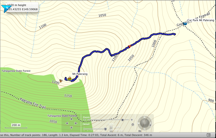
Fig 1: Mt Palerang GPS track log
Fig 2:
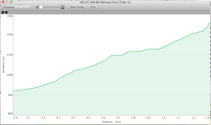
Fig 2: Mt Palerang track profile
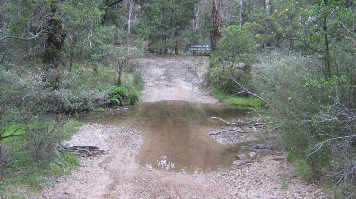
Mulloon Creek crossing, no problem has a gravel base
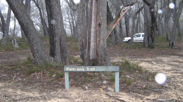
Palerang trail
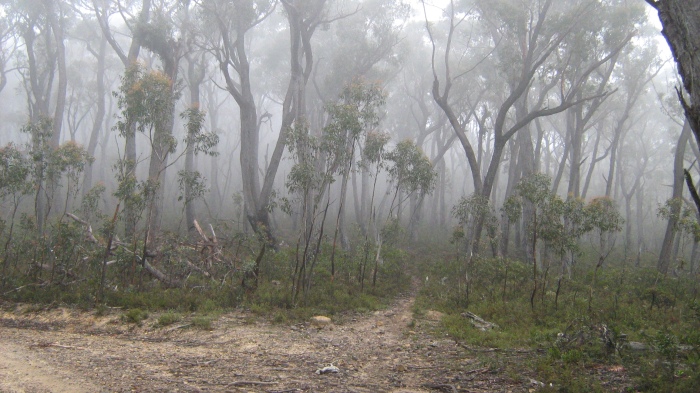
Take the Palerang trail for 50 metres then turn off to the right. From here it’s steep
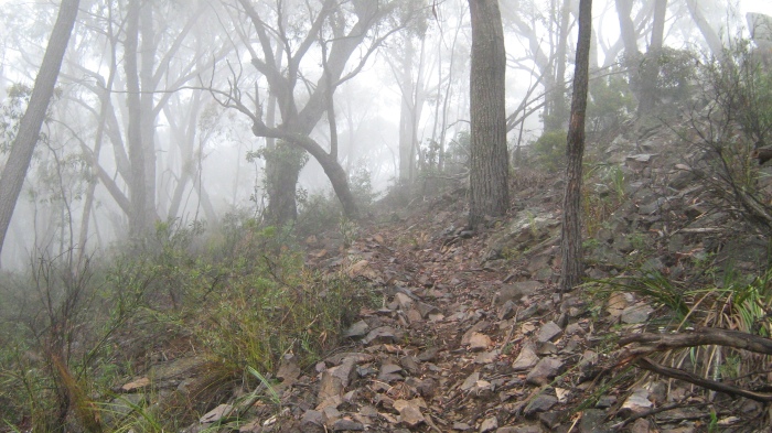
Walking track very steep for the first 300 metres. Check the angle of the hillside
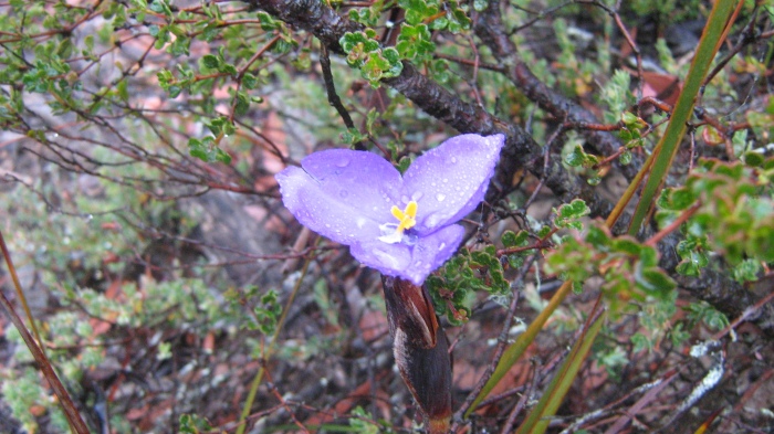
Wild flower
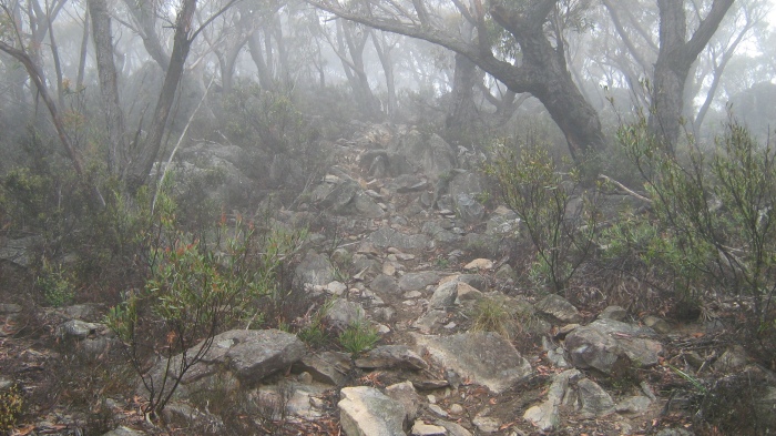
Near the summit the stunted forest trees are dwarfed slow-growing due the cold windy conditions
Cloud descends on the mountain, still a beautiful location.
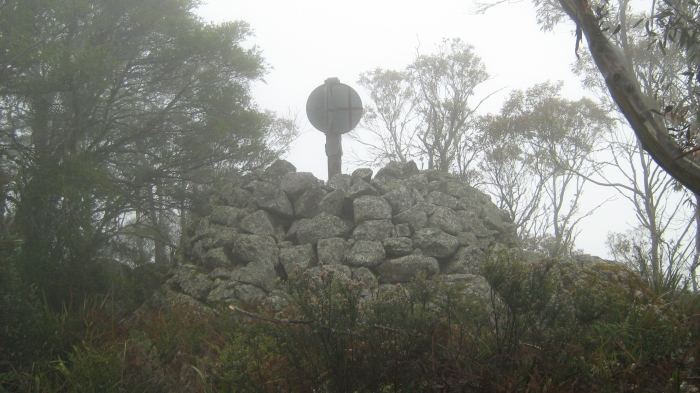
Mt Palerang Trig
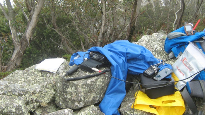
VK1NAM SOTA shack on Mt Palerang under the raincoat


Pingback: SOTA – Mt Palerang and a Black Snake | Get out of the Radio Shack and Live Life
Hi Andrew top write up can see you enjoyed the trip and Activation
73 Rod VK2TWR